The Blue Clover Path
The Blue Clover Path offers a journey through Nyborg's industrial past, revealing the city's rich history as a bustling hub for ferries, trains, and manufacturing. The trail is 5.7 km.
The Blue Clover Path in Nyborg is a journey through Nyborg's industrial period.
On the Blue Clover Path, you experience Nyborg's history as one of Denmark's traffic hubs.
The path starts at Vesterhavnen 3a and takes you along the harbor and moat to a small green oasis at Prins Frederik's Bastion. From there, the route passes the new and the old station buildings.
Learn more about this tour and find a map to help you navigate here.
Read the full story here!
These are 7 recommended stops on the tour. We encourage you to learn more about each one.
1. stop: The Blue Clover Path - Christian Hansen's Garden
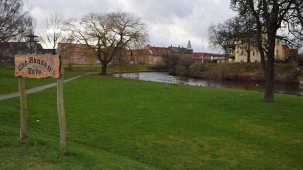
The first stop on the Blue Clover Path takes you through Christian Hansen's Garden. Today, the garden functions as a public park near the moat.
2. stop: The Blue Clover Path - Cirkuspladsen
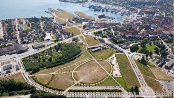
The area known as Cirkuspladsen – which roughly translates into The Circus Square - is located in a former railway area, where the trains from Funen and Jutland crossed through to reach the ferry term...
3. stop: The Blue Clover Path - Birdlife in Nyborg Fjord
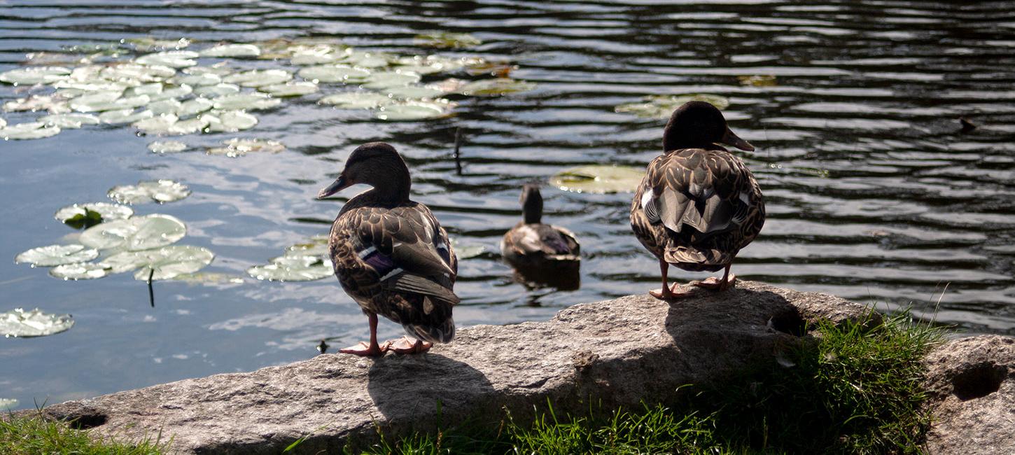
The coastline from Lake Østerø and via the harbor to Holckenhavn Castle is richly visited by seabirds ranging from terns and gulls to ducks and geese.
4. stop: The Blue Clover Path - Harbour Porpoises
You will find plenty of harbour porpoises in the Great Belt and if you are lucky, you might even spot them in the waters from the coast.
5. stop: The Blue Clover Path - The Children's Hospital
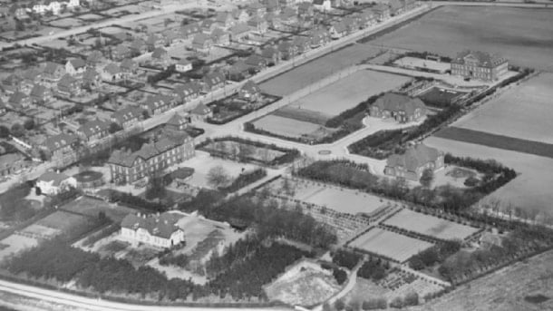
A children's hospital was built in Nyborg in 1932 and is often referred to as the first of its kind in the world. Here one could observe and treat children for epileptic and epilepsy-like diseases.
6. stop: The Blue Clover Path - Seals
You may be lucky to spot a seal in the area around the Nyborg coast.
7. stop: The Blue Clover Path - The Center Pier and the Ferry Port
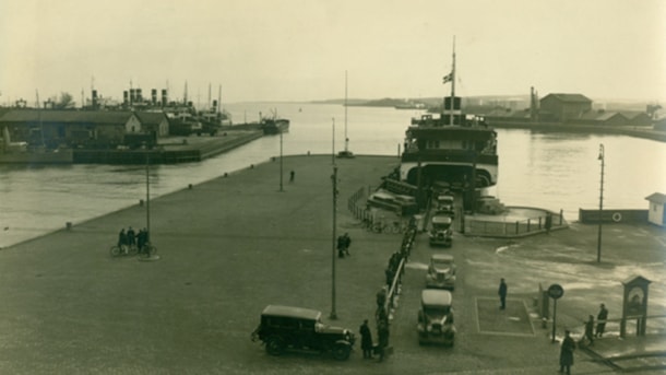
In 1548, Christian III decided to replace the city's modest ferry bridge at the end of Færgestræde with an actual ship bridge. The establishment of the ship's bridge was part of a larger project to tr...
Practical Information
The tour starts at Vesterhavnen 3a, 5800 Nyborg and is signposted in a clockwise direction. You can get a physical brochure at VisitNyborg (Torvet 2b, 5800 Nyborg) or at the starting point of the tour. If you prefer an online map, you can find it here. The map will guide you around the tour and show you the exact location of the 7 aforementioned stops.
Note: The trail between points 3 and 6 passes through the industrial district on a gravel path, following the old church road. Despite the gravel surface, this section is fairly easy to navigate by bike.
